Landscape Analysis
View brief.
This brief was developed to help guide collaborative landscape planning efforts, through use of a framework of seven core principles and their implications for management of fire-prone interior forest landscapes.
Key findings included:
- Historically, forests were spatially heterogeneous at multiple scales as a result of interactions among succession, disturbance, and other processes.
- Planning and management are needed at fine to broad scales to restore the key characteristics of resilience.
- Landscapes must be viewed as socio-ecological systems that provide services to people within the limited capacities of ecosystems.
- Development of landscape-level prescriptions is the foundation of restoration planning.
Access website.
Explore the Great Basin LCC, its projects, events, story maps, and news.
Access data portal.
The BLM’s Landscape Approach Data Portal is a one-stop source for geospatial data, maps, models and reports produced by BLM’s landscape initiatives including the: Rapid Ecoregional Assessments (REAs), Fire & Invasives Assessment (FIAT) program, and Sage-Grouse Initiative.
View article.
This study analyzed seasonal variation in the relative availability of soil water for the years 2001, 2004, and 2007, representing respectively, low, moderate, and high rankings of areas burned. For these selected years, the model predicted where forest fires >1 km occurred and did not occur at ~100,000 randomly located pixels with an average accuracy of 69%. The model identified four seasonal combinations, most of which included exhaustion of available water storage capacity during the summer as critical; two combinations involving antecedent conditions the previous spring or fall accounted for 86% of the predicted fires. The approach introduced in this paper can help identify forested areas where management efforts to reduce fire hazards might prove most beneficial.
Access app and tool.
The Sage Grouse Initiative Interactive Web App is a tool to catalyze and improve habitat conservation efforts across the western United States. It presents cutting-edge geospatial data covering 100 million acres, which helps visualize, distribute, and interact with information about the sagebrush-steppe ecosystem.
View article.
The purpose of this paper is to recommend a framework and methodology for incorporating hydrologic data and ecohydrologic relationships in Ecological Site Descriptions (ESDs) and thereby enhance the utility of ESDs for assessing rangelands and guiding resilience-based management strategies. The proposed framework increases the utility of ESDs to assess rangelands, target conservation and restoration practices, and predict ecosystem responses to management. The proposed enhancement of ESDs will improve communication between private land owners and resource managers and researchers across multiple disciplines in the field of rangeland management.
View handbook.
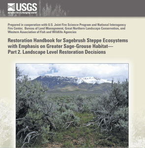
This handbook is intended to assist decision makers in determining landscape objectives, to identify and prioritize landscape areas where sites for priority restoration projects might be located, and to aid in ultimately selecting restoration sites guided by criteria used to define the landscape objectives. The landscape restoration decision tool is structured in five sections that should be addressed sequentially. Each section has a primary question or statement followed by related questions and statements to assist the user in addressing the primary question or statement.
View report.
This final report includes actions to be implemented by Interior’s bureaus to immediately address the threat of rangeland fire and other disturbances to Western sagebrush-steppe landscapes and improve fire and fuels management efforts.
View report.
The initial report includes actions to be implemented by Interior’s bureaus to immediately address the threat of rangeland fire to Western sagebrush-steppe landscapes and improve fire management efforts before the start of the 2015 wildfire season.
View report.
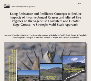
This report provides a strategic approach for conservation of sagebrush ecosystems and greater sage-grouse that focuses specifically on habitat threats caused by invasive annual grasses and altered fire regimes. It uses information on (1) factors that influence sagebrush ecosystem resilience to disturbance and resistance to invasive annual grasses and (2) distribution, relative abundance, and persistence of sage-grouse populations to develop management strategies at both landscape and site scales.