Search Results:
Integrated Rangeland Fire Management Strategy
Our mission at the Great Basin Fire Exchange (GBFSE) is to provide access to scientific information that meets the needs of sagebrush ecosystem management. Because of our mission focus, this website serves as the Science Support Center for Secretarial Order 3336.
The May 19, 2015 Department of the Interior report titled, "An Integrated Rangeland Fire Management Strategy" named the Great Basin Fire Science Exchange and the Great Basin Landscape Conservation Cooperative (GBLCC) as co-leads on Appendix A, Section 7(b) viii - Science & Research, Action Item #4:
"Develop or identify a primary online science delivery system to allow easier access to published science products and other science information."
Search this website to find scientific research about sagebrush ecosystem management.

For specific information regarding the Secretarial Order itself, sage grouse biology, or rangeland issues, please visit the following websites:
Secretarial Order 3336, Rangeland Fire Prevention, Management, and Restoration, Homepage
Sage grouse information for private landowners at the Sage Grouse Initiative.
Overview of western rangeland issues available from Rangelands West
BLM National Sage-grouse website
SAGEMAP - A GIS database for sage-grouse and shrub steppe management in the Intermountain West from USGS

Contact Us

Great Basin Fire Science Exchange Coordinator
University of Nevada/MS 0314, Reno, NV 89557
Phone: 775-784-1107
Subscribe to our mailing list
Targeted Grazing for Annual Grasses Resource Center
Targeted grazing is the use of livestock grazing to accomplish defined vegetation or landscape goals. In the Great Basin, targeted grazing strategies are being evaluated to reduce the negative impacts of invasive annual grass dominance. This resource center provides information on targeted grazing to 1) reduce fine fuels in fuel breaks and 2) promote desirable vegetation and reduce residual fuels by grazing in the dormant season.
This resource center is not advocating targeted grazing, but providing access to current scientific and practical research. Although all resources on this site have been selected for relevance and quality, they have not been rigorous reviewed by Great Basin Fire Science Exchange. Users of this site should make their own evaluations of any claims made and applicability to their particular management contexts.
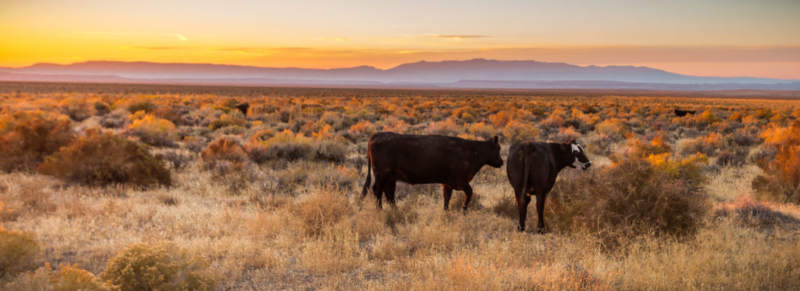
Invasive annual grasses
The following invasive annual grasses are dominating millions of acres in the Great Basin. Their dominance comes at the expense of native vegetation and valuable forage. These species are also largely responsible for increased fire frequency, which has limited sagebrush regeneration and thus negatively impacted wildlife habitat.
Cheatgrass (Bromus tectorum) is an aggressive and successful winter annual in the Great Basin, where there are no native winter annuals. This novel growth habit allows cheatgrass to exploit moisture and resources before native vegetation is growing in early spring. This crowds out native vegetation and has created a continuity of fuels that did not exist previously in native Great Basin grass and shrublands. Cheatgrass creates a highly flammable landscape from late spring through early fall.
Cheatgrass provides good quality livestock forage early in the season (late winter-early spring), but mature plants are unpalatable.
Medusahead (Taeniatherum caput-medusae) is another winter annual that has invaded the Great Basin. It matures 2 to 4 weeks later than cheatgrass and replaces cheatgrass at sites where soil moisture remains after cheatgrass has matured. Medusahead biomass is high in silica, highly flammable, and degrades slowly, which can fuel large, fast-moving wildfires. Soil-stored medusahead seed often survives rapidly spreading fires, which promotes post-fire establishment and dominance.
Medusahead is only grazed by livestock when it is vegetative. This provides a narrow window for control using livestock. However, this window can piggyback that of cheatgrass at sites where these species co-occur.
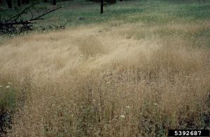
Ventenata (Ventenata dubia) is also a winter annual. It germinates in the fall and produces seed in May and June. Ventenata is beginning to replace perennial grasses and forbs in Great Basin rangelands. It produces a shallow root system, which can promote soil erosion as ventenata becomes more dominant.
Ventenata is used by livestock in early spring but is avoided once flowers are being produced. At this point, stems harden and are unpalatable. However, ventenata seed viability lasts only 2 to 3 years suggesting that 3 to 4 years of intensive management and vigilant monitoring may provide control.
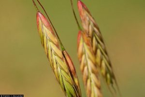
Field brome (Bromus arvensis) is yet another problematic winter annual in the Great Basin. Field brome, like its cheatgrass relative, is an aggressive species that can out-compete native species for moisture and soil nutrients, especially nitrogen. As a heavy nitrogen feeder it can be especially problematic following fire.
Field brome is utilized by livestock before it mature and produces seed. Although not as problematic as cheatgrass in the Great Basin, this may change with a warming climate.
Newsletters Archive
View article.
This study highlights that vast areas of the arid shadscale zone have been rehabilitated through management, but direct plantings of both native and introduced species usually have failed. Future success will likely be with native plants, including shrubs, adapted to the particular site.
View synthesis.
This synthesis discusses that fire can be used to either control invasive species or to restore historical fire regimes. However, the decision to use fire as a management tool must consider the potential interrelationships between fire and invasive species. Historical fire regimes did not occur in the presence of many invasive plants that are currently widespread, and the use of fire may not be a feasible or appropriate management action if fire-tolerant invasive plants are present. The management of fire and invasive plants must be closely integrated for each to be managed effectively.


